


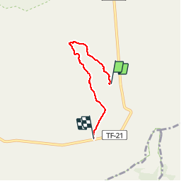

11,3 km | 19,8 km-effort

Benutzer


Kostenlosegpshiking-Anwendung
 SityTrail
IGN / Geografische Institute
SityTrail World
Die Welt öffnet sich für Sie
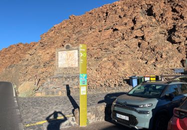
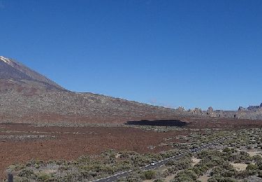
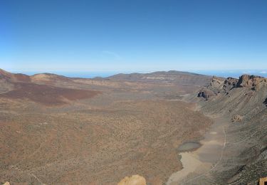
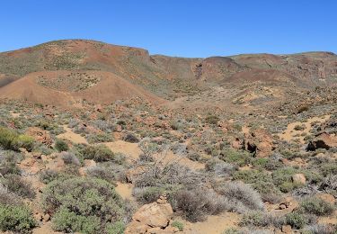
Tour Wandern von 5 km verfügbar auf Kanarische Inseln, Santa Cruz de Tenerife, La Orotava. Diese Tour wird von genevieve vorgeschlagen.
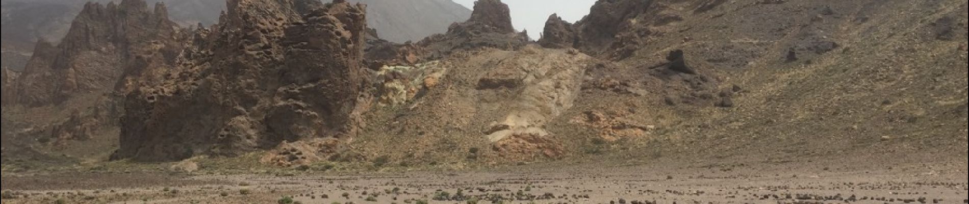
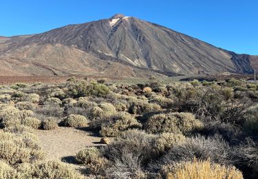
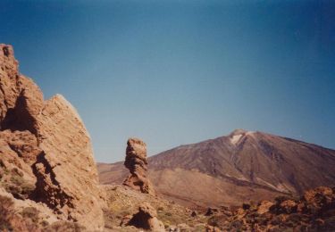
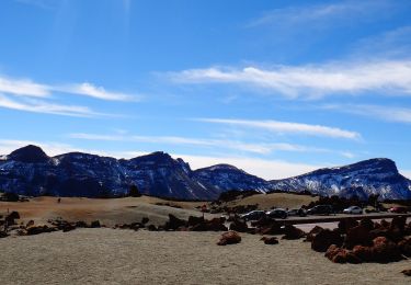
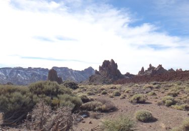
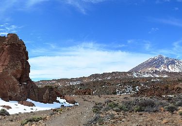
Petit circuit grandiose par le paysage en attendant de pouvoir monter au sommet du Teide à 3500m d'altitude.
Pour aller jusqu'au cratère il faut une réservation à faire au moins deux mois à l'avance. sniff


Zu Fuß
Wandern
Zu Fuß
Zu Fuß
Zu Fuß
Zu Fuß
Zu Fuß
Zu Fuß
Zu Fuß